2022 Year in Review
My personal favorites from 2022.
3 Comments
January 16, 2023

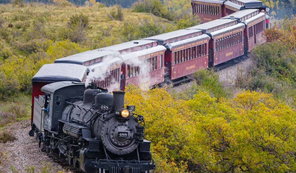
A scenic railroad in southern Colorado and northern New Mexico.
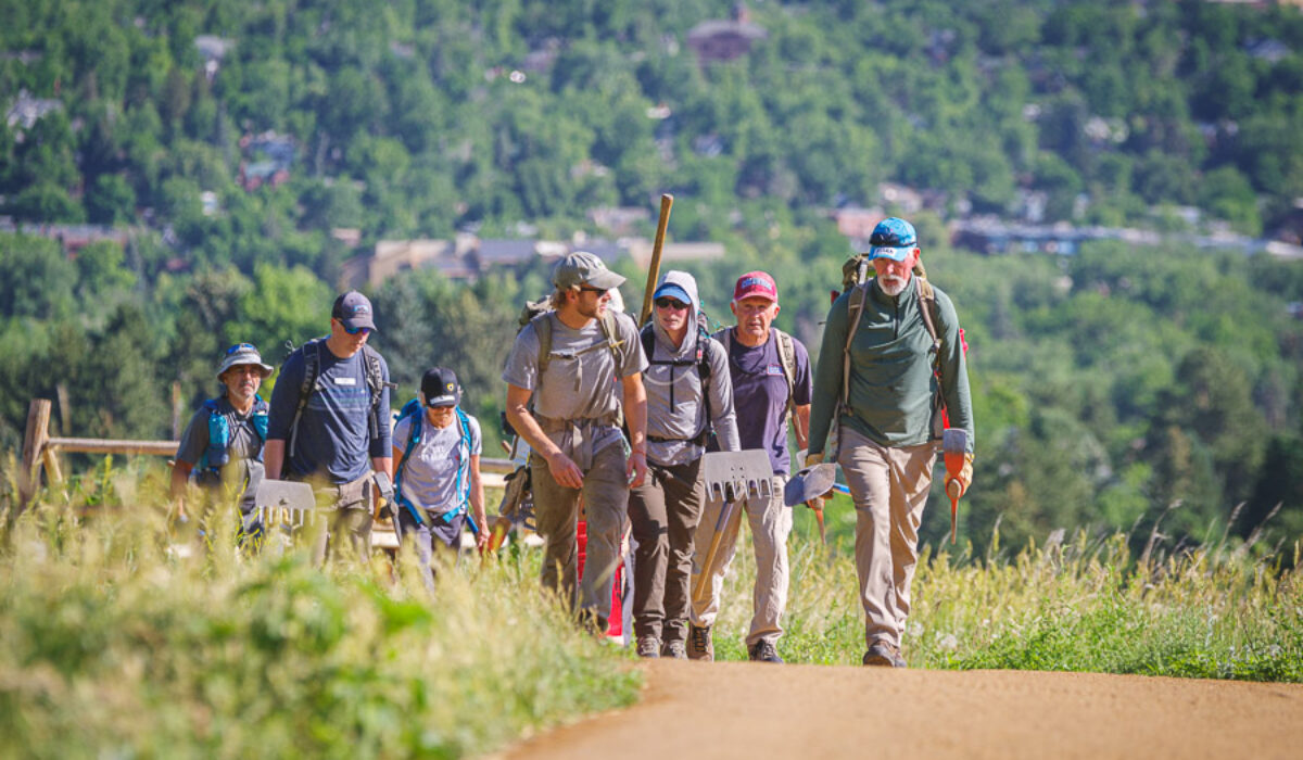
Trail work with Volunteers for Outdoor Colorado.